


| Introduction: Essays contributed by JCB Fellows in honor of the 50th Anniversary of the Library's Fellowship Program |
 |
|||
Two scholars immediately spring to mind when thinking about fundamental English-language works on the history of cartography: Lloyd A. Brown (1907-1966) and J.B. Harley (1932-1991). Brown, a Providence, Rhode Island native and author of The Story of Maps (1949) and Map Making: The Art that Became a Science (1960), worked in the rare book trade as a curator and librarian, and as an instructor of geography and cartography. Brian Harley, from the other side of the “Pond”, was a geographer and map historian who first worked on England’s early large-scale surveys (including the Ordnance Survey) before considering maps’ role in European statecraft and the Columbian encounter and finding their “new nature” (2001); like Brown, Harley sought to increase public interest in and understanding of maps, first publishing reference works to help local historians and later becoming a founding co-editor of The History of Cartography (1987- ), working with David Woodward at the University of Wisconsin-Milwaukee. |
|
|||
Brown made the story of maps’ technology and makers accessible in the mid-20th century; twenty years later, Harley convinced a new generation of scholars that the history of cartography could also include the analysis of maps as cultural artifacts—the tools of empire, nation, commerce, or, to put it bluntly, power. Both of these influential scholars and public voices are alumni of the JCB Fellowship program—Brown in 1962-63, the JCB Fellowships’ inaugural year, and Harley following soon after, in 1965-66. One had already published his seminal work, the other was beginning to reshape his scholarship. At the library, Brown was thinking about “The Mapping of America” while Harley investigated “William Faden: Eighteenth-Century Mapmaker”—showcasing the history of cartography’s relevance for projects reaching for hemispheric scope or digging into individual activity. |
||||
Since the 1960s, more than three dozen junior and senior scholars in history, geography, art history and cultural studies have followed in their footsteps as fellows working with the Library’s extensive collection of manuscript and printed maps, atlases, geographies, histories, reports of discovery and exploration, and a host of other materials with cartographic connections. Even more have found their way to the map room on the ground floor, and been fascinated and inspired as maps were deftly pulled from flat files and laid out for review. Nor were they alone. Fellows, visitors, and others who find inspiration in the JCB’s holdings have benefited from the enthusiasm, inspiration and (most importantly) guidance of Jeannette D. Black and Susan Danforth, curators and stewards of the collections and contributors to many exhibitions. By showcasing selections from the map collection, the JCB has illustrated, complemented and driven home the arguments by mounting real and online exhibitions on cartography (Map Talk, 2010) but also everything from chocolate to medicine to war to slavery, from 1492 to the early 1820s. |
||||
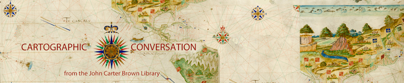
Although much of the subsequent cartographic scholarship by JCB fellows has focused on English, Spanish, French and Portuguese empires in the Americas, an intrepid few have considered everything from the mapping of Africa to German, Dutch, and Italian cartographies to the meaning of ships on maps. Fellows Jack Crowley, Lina del Castillo, Jordana Dym, Matthew Edney, Carla Lois, Joyce Lorimer, W. George Lovell, Paul Mapp, Karl Offen, Heidi Scott, Richard Unger, and Chet Van Duzer offer initial contributions to the “Cartographic Conversation” that will take place at the conference celebrating the 50th Anniversary of the JCB’s Fellowship Program next month. ———Jordana Dym, May 2012 |
||||