Wickenden Street, Providence in 1900
The following map is a composite of Sanborn fire insurance maps of Providence which were obtained via UMI's Digital Sanborn Maps website.
This map has been provided to both situate the Wickenden Pub within its urban surroundings (in general there have not been significant changes in the layout of the street and streetscape) as well as to begin to examine how the Pub would have been spatially situated within its community. Note that all pubs (referred to as Saloons on the map) have been colored red, and bottling houses (just an interesting and related spatial component) have been colored green.
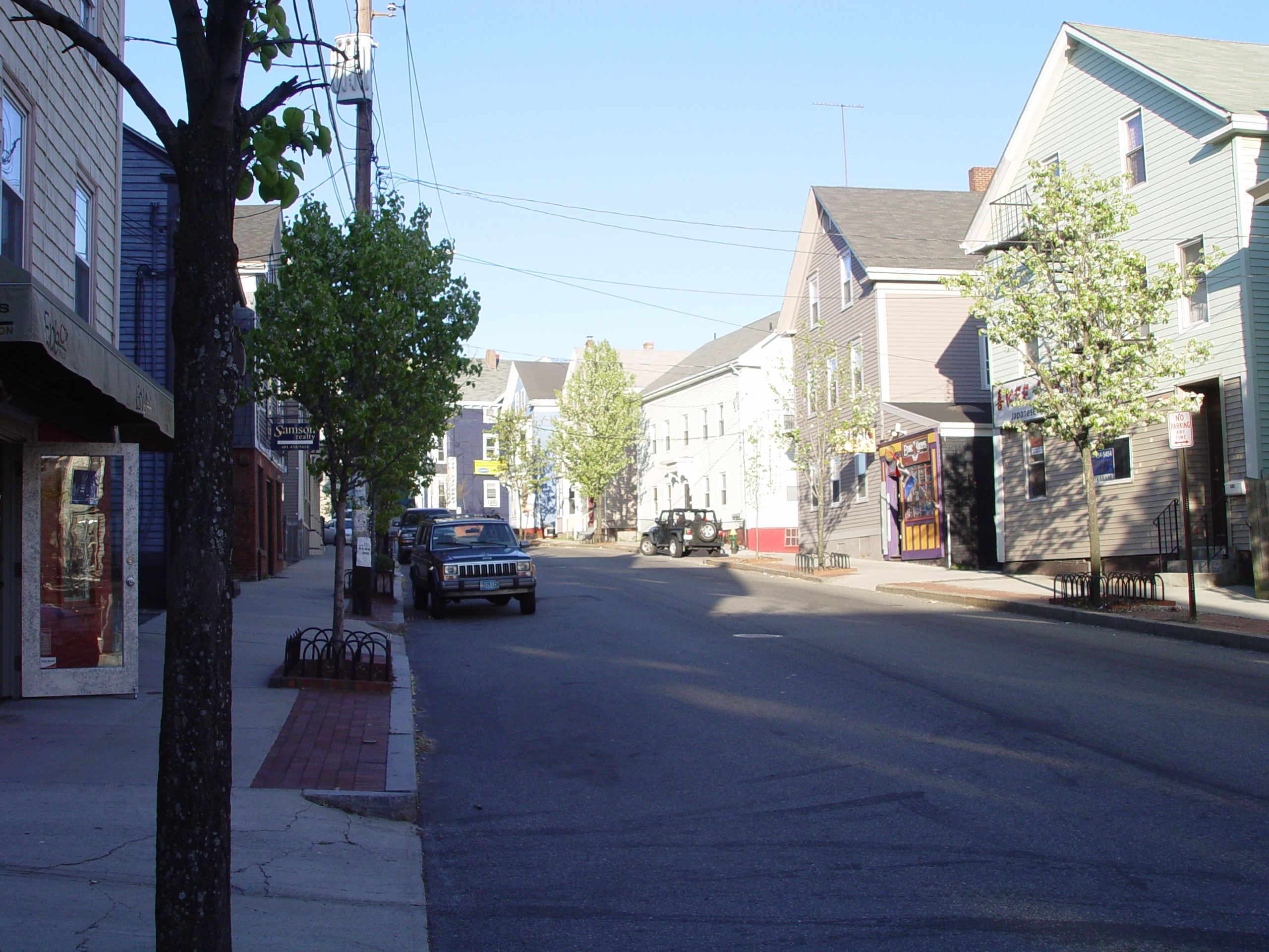
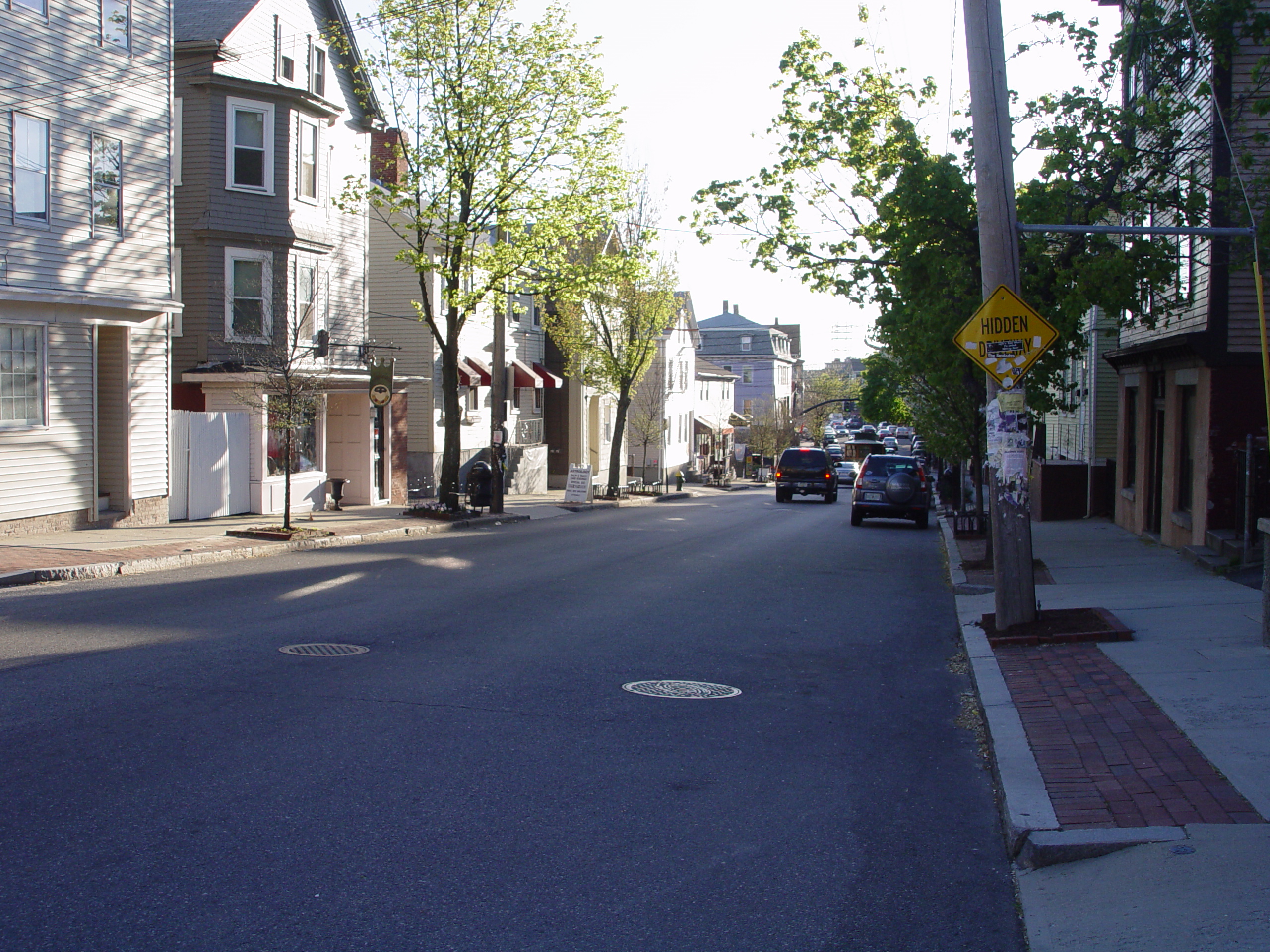
Yet a 2-D map of Wickenden Street does little to express the way the street 'feels.' Consider the views up and down the street from Wickenden Pub. The view up the street does not extend far - the road curves up a hill (an uphill walk with no way of knowing at a glance what to expect down the road). This contrasts with the view down the street - level and straight.
Think About:
- How does the historic map compare to a modern map of Wickenden? Were the distributions of drinking establishments similar?
- Do these views affect where a pub patron might go next? Or disuade him or her from going anywhere else?
- Does 'difficulty of terrain' matter when drinking is involved?
Posted at May 11/2007 04:03PM:
ajbravo: Providence Public Library's Image collection
