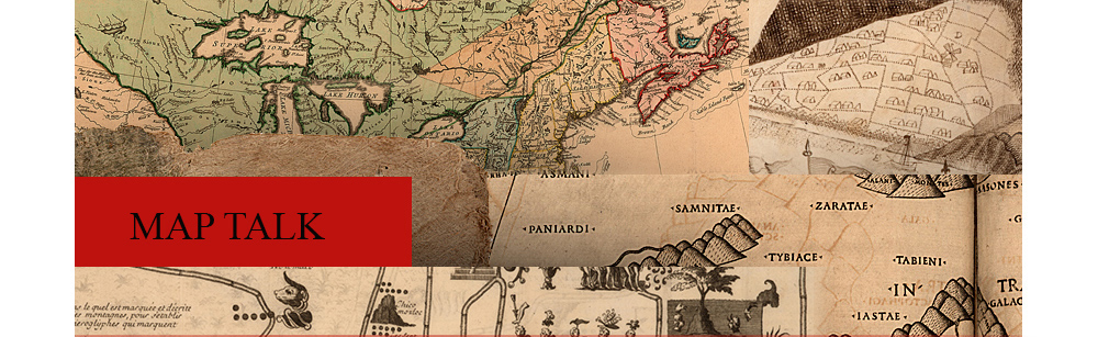
Over the past several decades, many traditional assumptions about old maps have been laid to rest, or at least challenged. It’s safe to say that today’s engaged audiences no longer view maps simply as objective, mathematics-based views of our world. It seems pretty well accepted now that maps are, in fact, subjective statements, as we recognize that a cartographer or designer must choose which pieces of geo-spatial information to include in a map. If these human choices were not made--if all available information was included--the result would be unreadable. Although the maps in this exhibition have been divided into several topics, many could just as comfortably find a place in another section as well, because maps don’t have just one thing to say. The exhibition labels are meant to provide a starting point for conversation. We hope you will continue the dialogue.
|
|||||
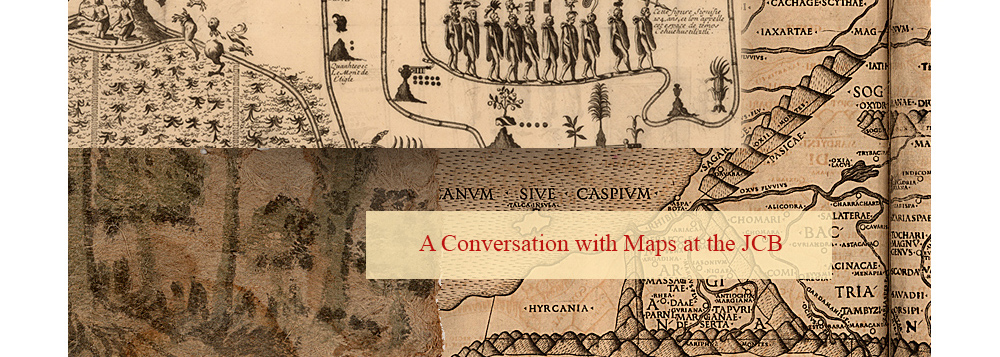
| Exhibition prepared by susan danforth. on view in the reading room from January 27 to april 23, 2010 |