MAPs to wage war |
||||
| 36. [Samuel Augspourger]. The fort at Frederika in Georgia. 1736. Manuscript. |
||||
| 37. A plan of Fredericka a town in the plantation of Georgia in the province of Carolina as layd out by Mr. Oglethorpe, 1736. Manuscript. Ever since the settlement of the Carolinas in the seventeenth century, England and Spain had contested ownership of the land between Charleston, South Carolina, and St. Augustine, Florida. In 1736 the frontier post of Frederica, Georgia, was established on a bluff overlooking the south branch of the Altamaha River to protect the English colonies from Spanish attack. The design of Frederica, with its regular grid, city walls, and central strong point, may owe its origin in part to Oglethorpe’s knowledge of the fortified towns of Northern Ireland. For further protection, Samuel Augspourger, a Swiss surveyor and engineer, laid out a fort. Frederica was attacked unsuccessfully by the Spaniards in 1742, but the treaty of peace with Spain in 1748 heralded the beginning of its decline. By 1755 all the forts that had been established along the Georgia borders were in ruins, and a fire in 1758 destroyed what was left of Frederica. |
||||
| 37.Eleazer Carey’s powder horn date Crown Point Octr. 31, 1759. The powder horn was an essential piece of equipment for the eighteenth-century soldier, and he often whiled away his spare time decorating it with designs incised with a knife point or other sharp object. A large number of the surviving examples of early American powder horns are embellished with maps—usually rather impressionistic—highlighting places where the owners had seen service. Eleazer Carey’s horn shows the towns of Amboy, New York, Albany, and “Skanaktady,” as well as several forts in the Hudson Valley as far north as Crown Point on Lake Champlain. For good measure, he added a mermaid and a pheasant. |
||||
| 38.“A plan of the city of Albany.” In: [Mary Ann Rocque]. A set of plans of forts in America. [London], 1763. This illustrated book of fortifications was intended as a handy reference tool for the armchair military strategist, where an observer of the French and Indian War in North America could get a visual “fix” on places and events in the news. |
||||
 |
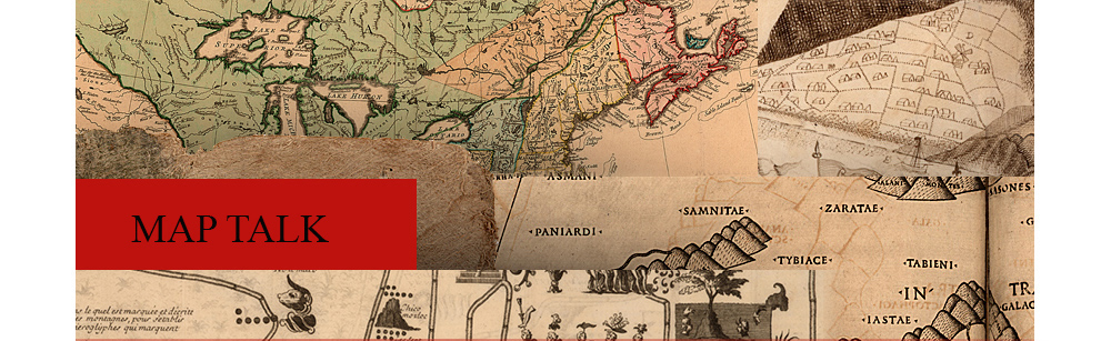
39. The American military pocket atlas. London, [1776]. Separate maps of the theatre of the American Revolution in North America that provided essential topographic information were gathered together and re-published in this format by Robert Sayer. It is popularly called the “holster atlas” because it was intended to be attached to an officer’s saddle or belt. |
|||
 |
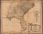
40. [The town, harbor, and environs of Boston, beleaguered by the Americans]. [1776]. Manuscript. The designations, “Rebels Redoubt” and Rebel Encampments”, etc. on this map leave no doubt that it was the work of a British draughtsman, possibly Lieutenant Thomas Hyde Page, whose engraved map of the same area it closely resembles, and it also seems possible to fix the date of its production within reasonable limits. On January 8, 1776, the Americans burned Charlestown. On March 4th Washington occupied Dorchester Heights and, with the big guns brought from captured Ticonderoga, compelled the evacuation of the town by the British. Turning to the map, we find the place and legend, “Charles Town now in Ruins,” but on Dorchester Heights there is no evidence of rebel occupation. It seems likely, then, that the map was made sometime between January 8 and March 4, 1776. | |||
| Exhibition prepared by susan danforth. on view in the reading room from January 27 to april 23, 2010 |