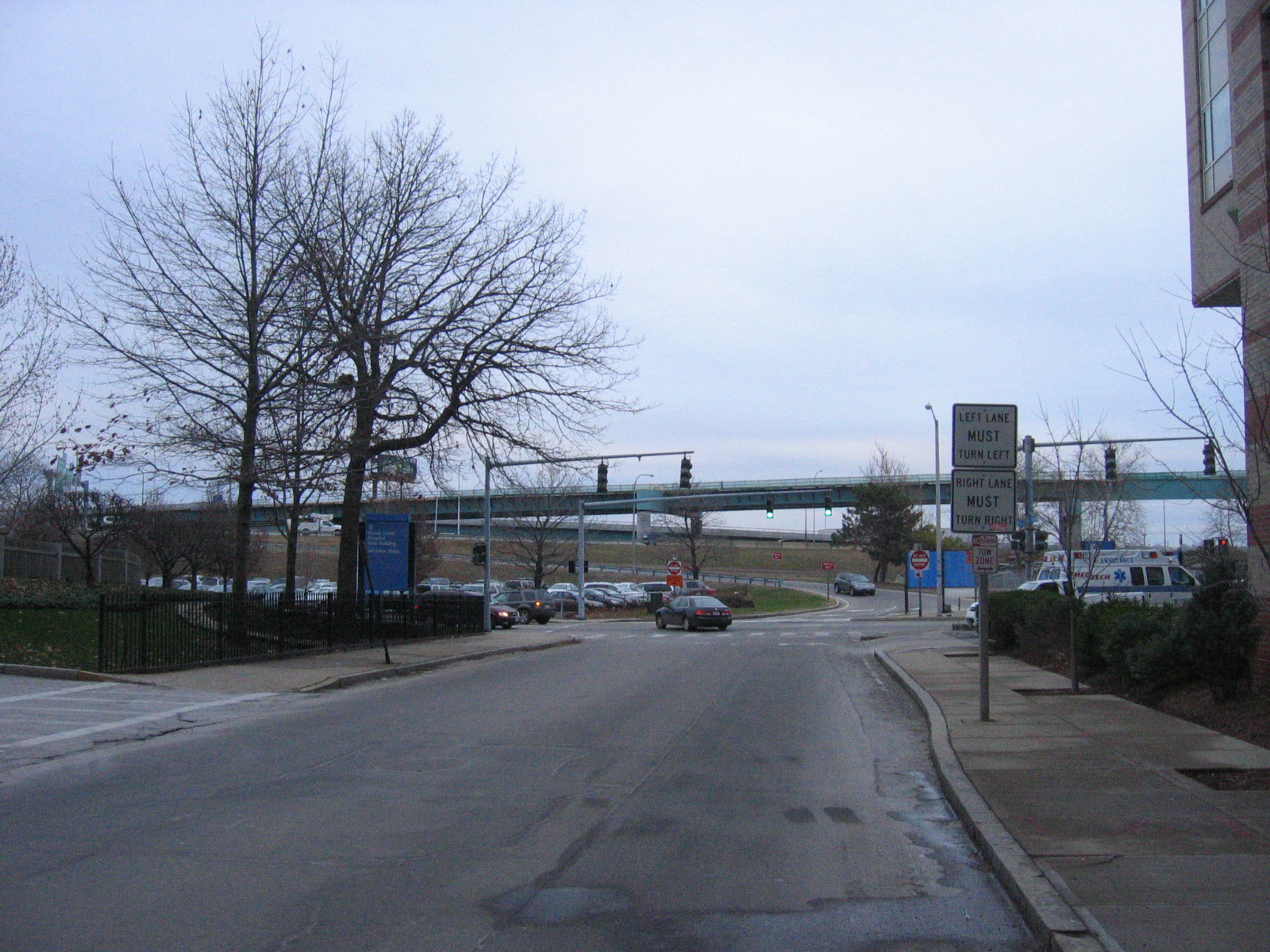
Began proceeding east on Dudley street, through Rhode Island Hospital, which has an southbound offramp going directly to it.
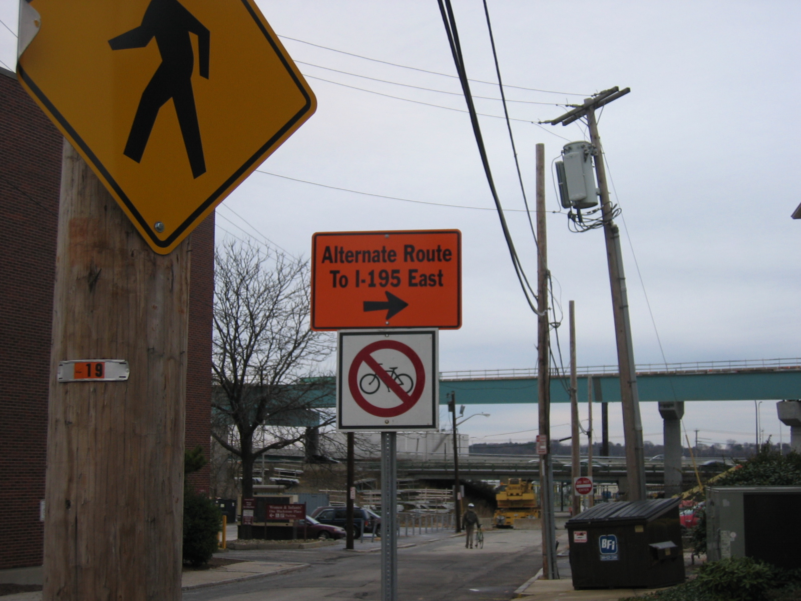
Turned south (right) on Eddy street, paralleling I-95. The next east-west street is Blackstone which at one time went under the Highway and had a southbound offramp that allowed access to the Allens avenue (Providence River) side of I-95 but has been blocked to motor vehicle traffic due to construction for some time. Pedestrians and cyclists can fit through the barricades:
The construction of the older 95 structure is built on an earthen grade with concrete overpasses, wheras the 195 structures currently under construction are metal causeways supported by large, single concrete pylons. There was a blow-up graffitti piece on the bases of one of these pylons that was faded and looked old compared to the new highway structure that is not even yet complete. The area is filled with exposed dirt, parking lots, chain link fences, forms for the construction of the sides of the highway structure, and a large yellow crane truck with a sticker showing cartoon representations of the many hand signals for crane operation. Shot a little video clip of the southbound I-95 traffic.
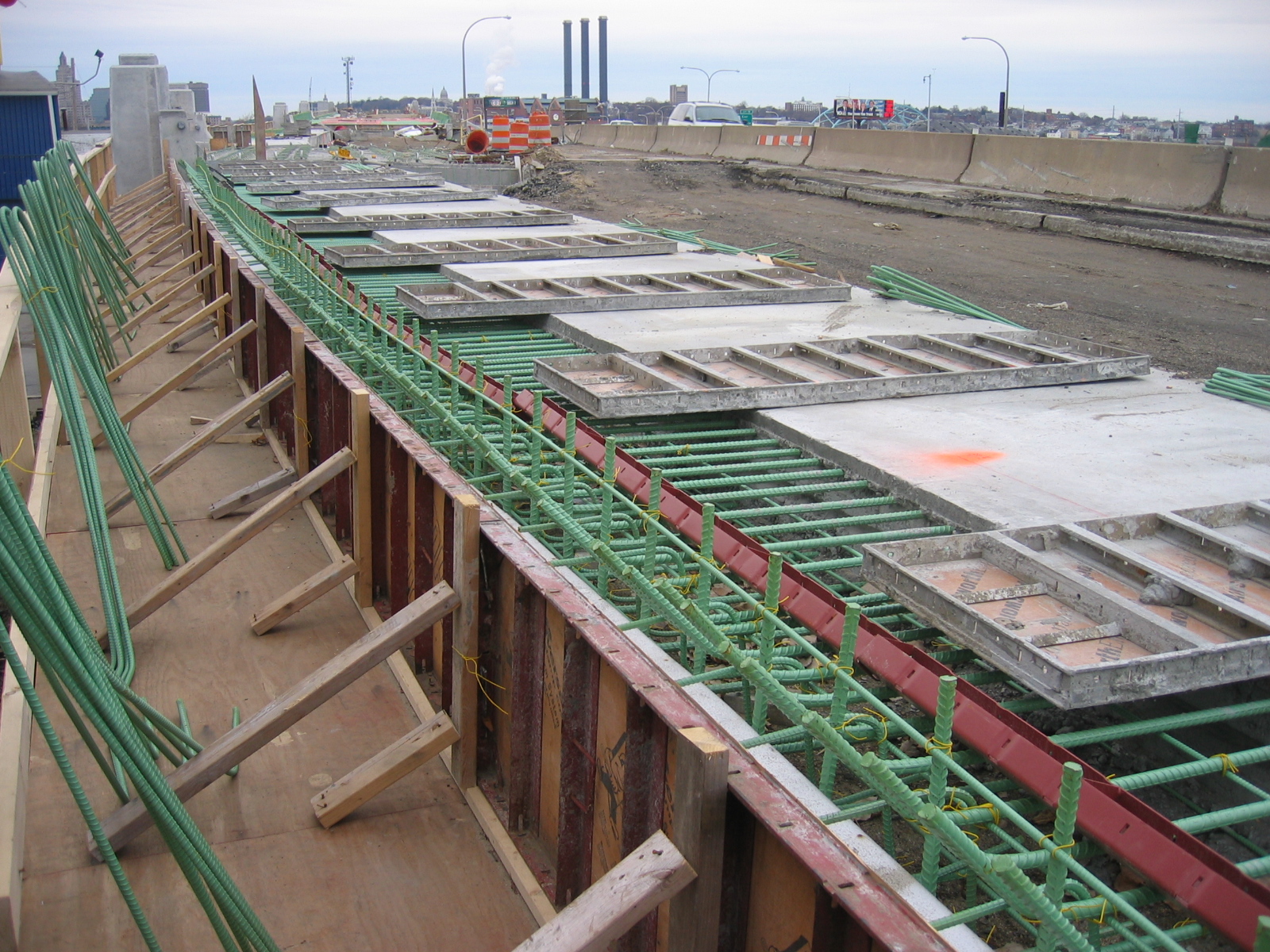
Went back up to Eddy street and continued south. Took a detour down either Public street to look at the side of a highway structure that was being worked on. Materials visible included plywood, rebar, steel I-beams, yellow ties, dirt, 2x4's, concrete barriers, metal and wood concrete forms...
Chris who was with me noted some marks on an I-beam and how well organized and notated all of the materials must be in order to get them assembled in the right places and relationships. I realized that I have never seen more than a handfull of people working at any of the current highway construction sites at any time.
After continuing south on Eddy for another block we turned down Oconnel to look at a tall ship in the yards between Allens avenue and the waterfront. The Allens avenue strip down here is awash with strip clubs and the like. I found a small dark brown vial with liquid and a tiny cotton ball in it, and then noticed a couple of used needles on a sand pile next to it. Probably heroin, I set it back down and mused on spaces for marginal activities, both the history of waterfronts and highways. Repetitive features include signs warning of constant surveillance, trash, 'no dumping' signs, rubble, broken glass, graffiti, buffed graffiti.
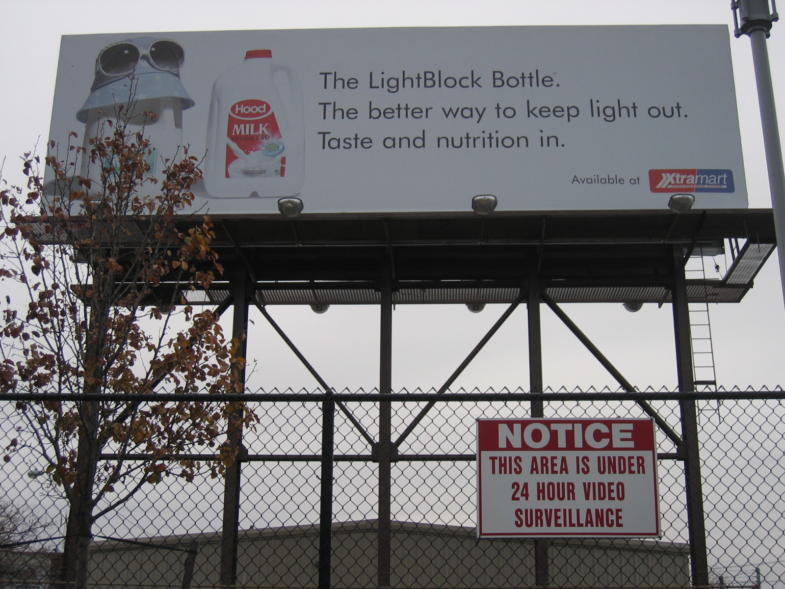 The surveillance is not only the passive eye of the camera, but the many eyes of the drivers and passengers on the highway, as the billboard and their ubiquity shows.
The raised highway is a vantage point that raises the moving viewer high above the land, offering a visual correspondent, the power of far seeing to the power of high mobility.
The surveillance is not only the passive eye of the camera, but the many eyes of the drivers and passengers on the highway, as the billboard and their ubiquity shows.
The raised highway is a vantage point that raises the moving viewer high above the land, offering a visual correspondent, the power of far seeing to the power of high mobility.
We took a detour down a side street where the earthen structure of the highway was supported by a concrete wall with painted over graffitti on it: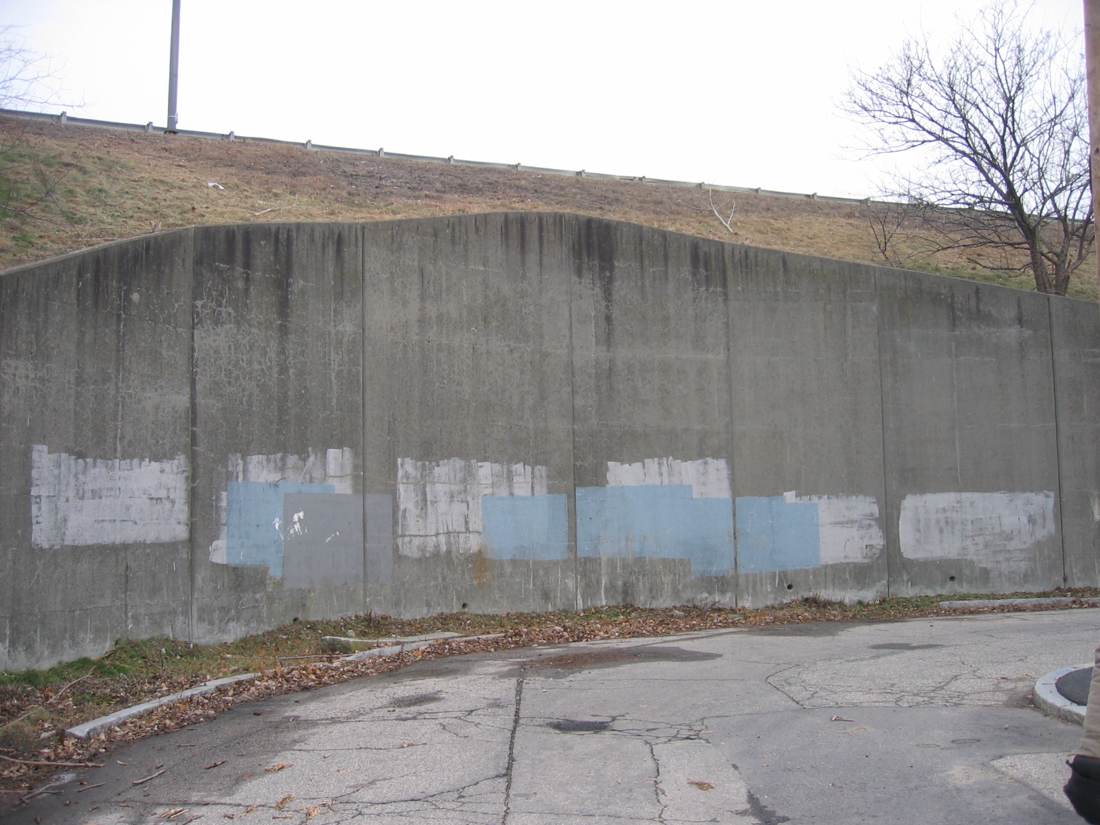
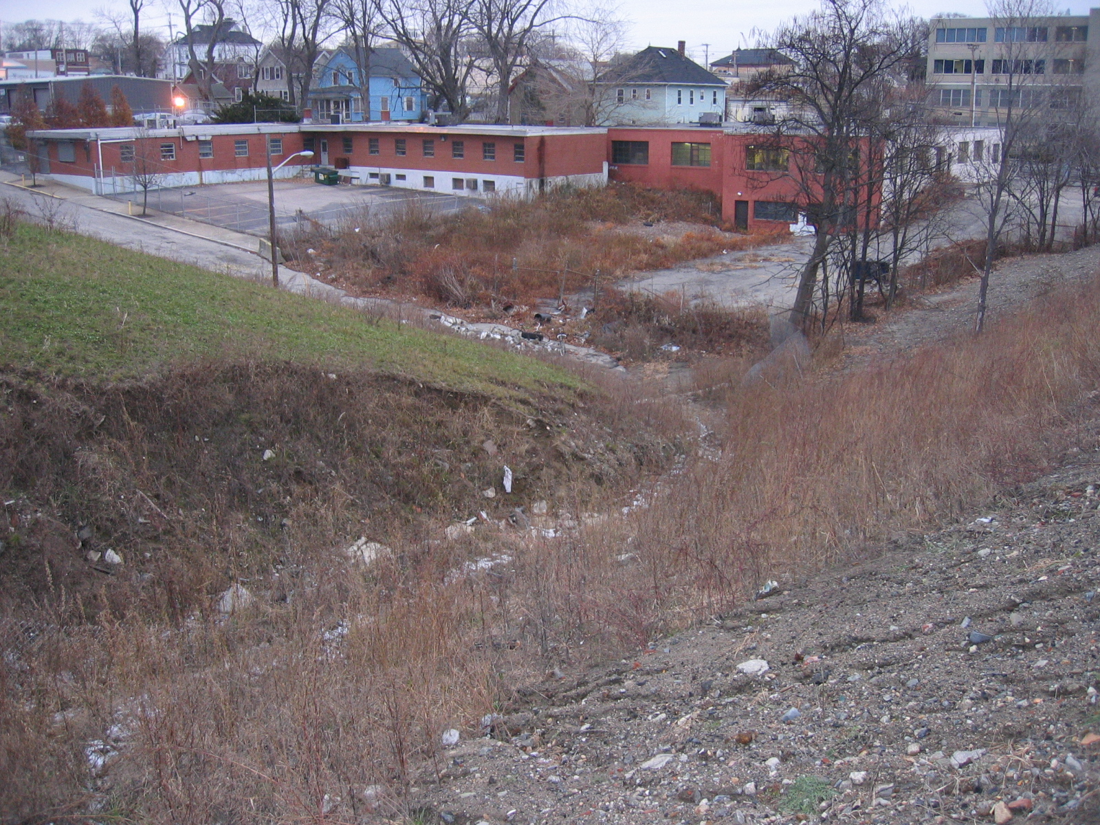
We then crossed under the Highway again and approached it from a street that dead ended into it from the west side; a downhill slope bordered by a radio station on the left, and a copse of trees on the right filled with trash bags behind a no dumping sign posted on a pole. At the bottom of the street was more trash, some labeled 'City of Providence', and a pile of cinder blocks.
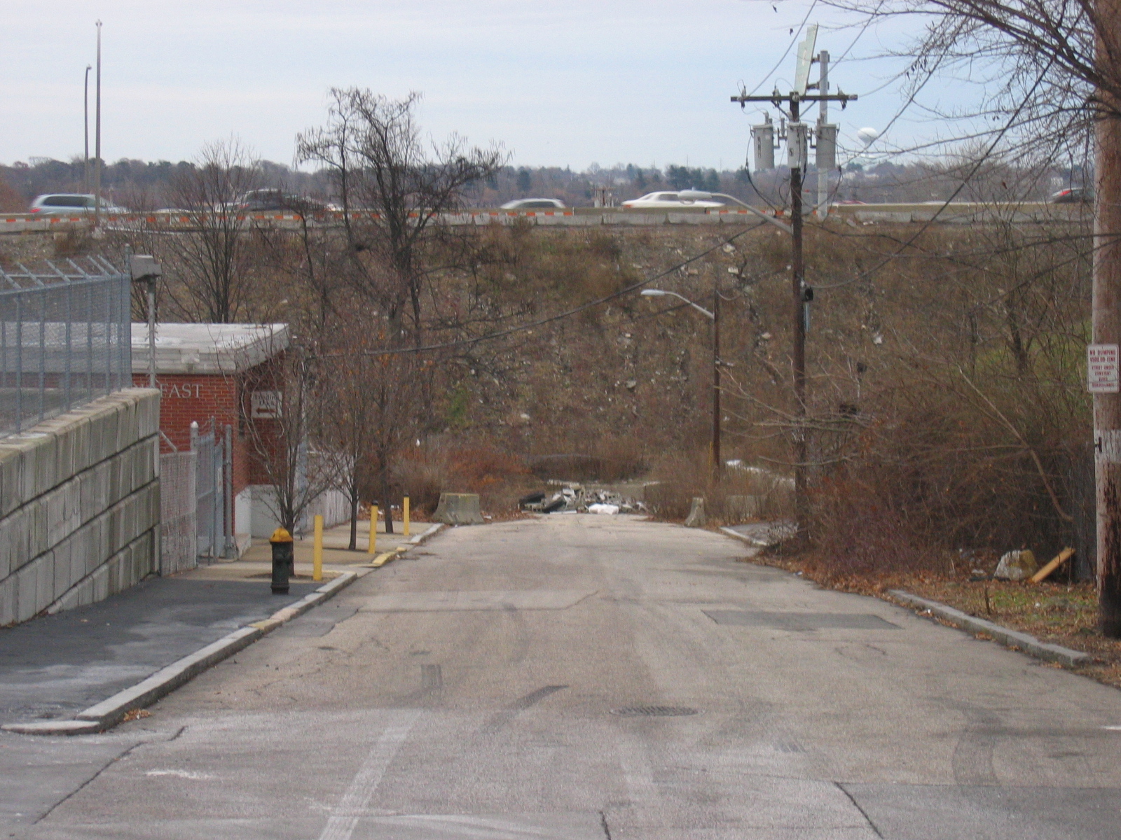
A chain link fence that led diagonally up the road grade to the south has collapsed and formed a watercourse from whose banks bits of pottery and other artefacts are emerging from the construction fill of the adjacent lot. There is an old brick there stamped "Reech Creek".
We continued to follow the highway south along its western edge, climbed up the embankment at the Thurbers avenue onramp, marvelling at the park-like landscaping that is done to the medians and embankments of the on/offramp complex. We went above Thurbers avenue curve, an accident hotspot according to Chris. In addition to"Discovery House" and another rehabilitation center in the area, G-tech has a customer relations office, whose activities presumably occur primarily via telecommunications, with no advantage in being one physical location or another so long as the utilities are hooked up and the the city or state provides good tax breaks.
The Highway orients itself to a more northeast-southwest alignment south of the Thurbers avenue curve, and also descends below street level again. On the southern side of the chasm of the highway are large distribution and deployment warehouses for businesses, on the northern side homes face a chainlink fence and then a sheer concrete drop-off to the highway. On the first block after the curve all of the houses have very intense christmas decorations on their facades. A After several blocks street level descends below and the highway is raised, with Roger Williams park on the south side of it. On the north side is a national guard depot and a cadillac dealership on Cadillac Drive! Following the highway along cadillac drive we encountered an underpass closed by a chainlink fence, with old railroad tracks terminating. Medium sized trees have grown up that indicate that the rails have not been in use for at least 20 or 30 years. The mystery is why did they go to such trouble to build an overpass for the tracks? We went under the underpass and followed the highway on one side and the border of Roger Williams Park on the other. It was well dark by this time however, and by the time we reached the joining of 10 and 95 we were throughly confused as to just what the highways were up to.
