Began at where Memorial Parkway in Downtown Providence turns into an onramp onto Highway 10/6 and Highway 95, between Providence Place Mall and the Westin Hotel. Although there is a pedestrian walkway over this road connecting these two buildings, non-motorized vehicle traffic and access is blocked from proceeding west for several blocks in either direction.
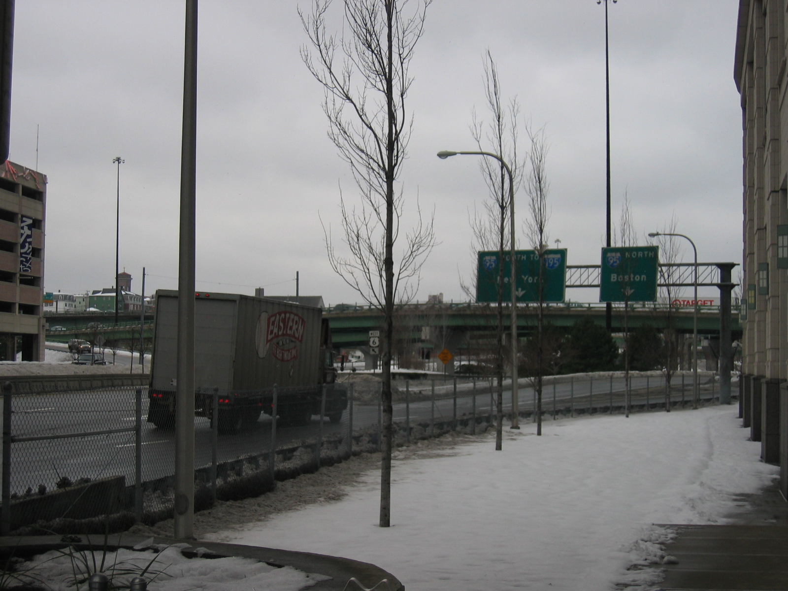
There is plenty of direct access from the highways to the Mall and large downtown hotels.
Walked north along the downtown face of the mall, through the river split observing the layering of the mall, the amtrak train line, the river and the highway. Went into the mall and up to the parking garages fed by and facing the highways; excellent views of the 6/10-I95 interchange:

and north between Smith Hill and the State Capitol building:
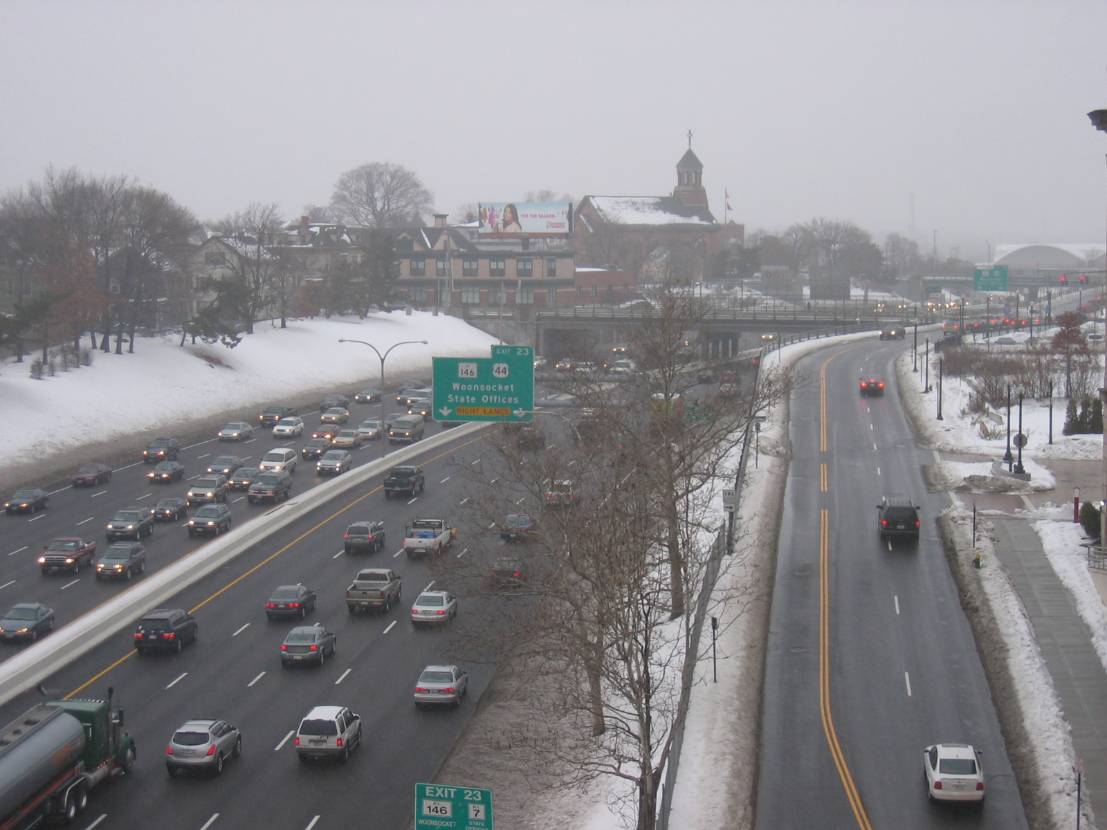
Visible in the distance is the central post office, conveniently located near the freeway for shipping mail in and out.
I-95 south to the Atwells avenue exit:
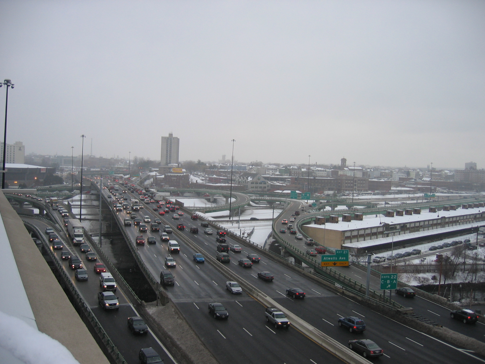
Visible to the right in this image is the old produce distribution center, hugged by a highway interchange structure. The produce building is abandoned, originally built along the train lines, and slated for imminent destruction once the asbestos is cleaned out.
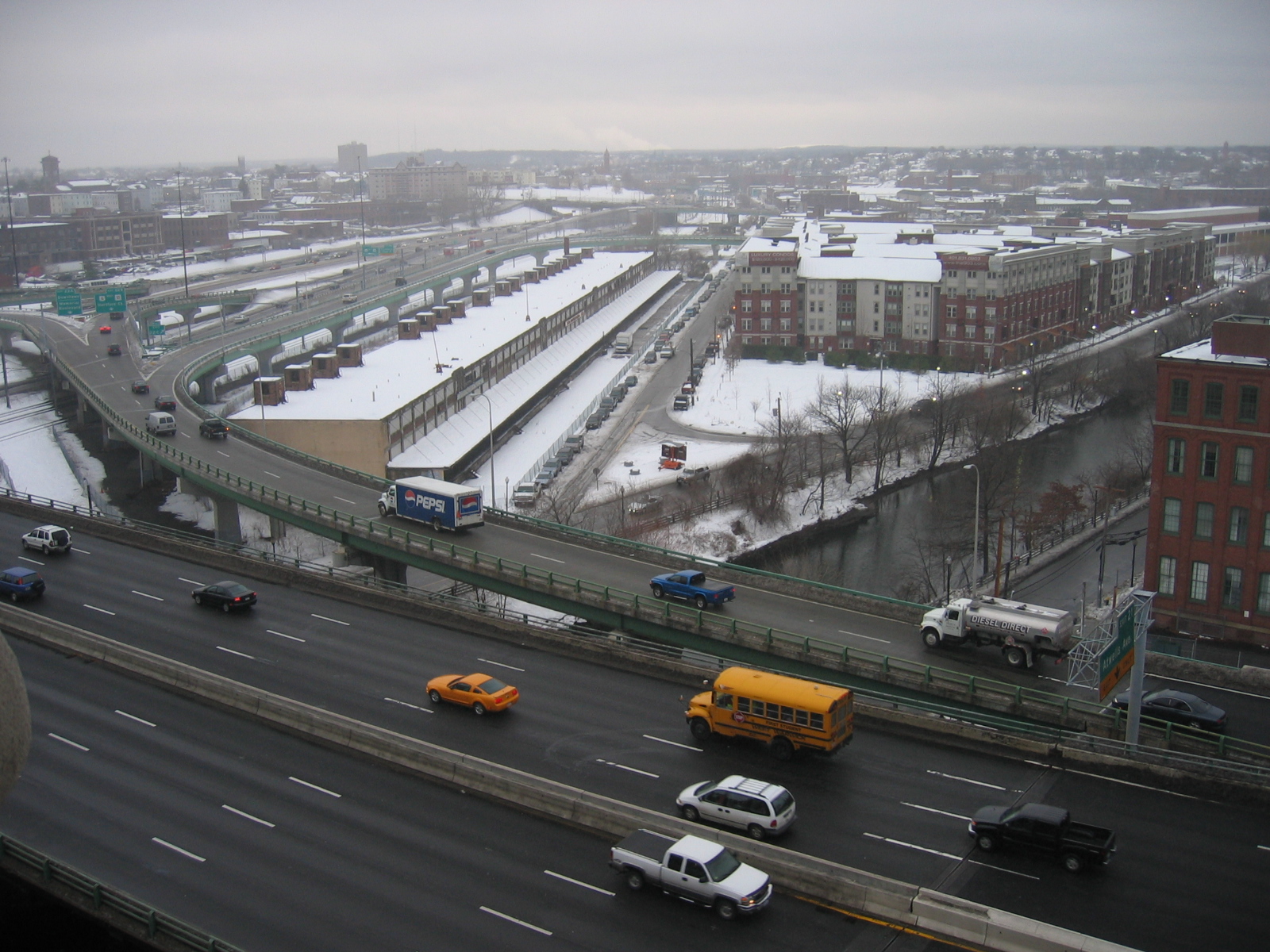
The interchance of the highways here is also an overlay of the historically dominant transportation corridors that have defined Providence. The Woonasquatucket river being the oldest, then the rail lines (which are obscured in the following photo by the highway structure that hugs the abandoned produce distribution building), and most recently, the highways:
Being in the parking garages of the mall pointed very much to the function of the highway of bringing people in cars to discreet and accessible locations, and being in the mall itself seemed like it was definitely the place to be, a location filled with people. The alliance between the highway and the mall seems very successful.
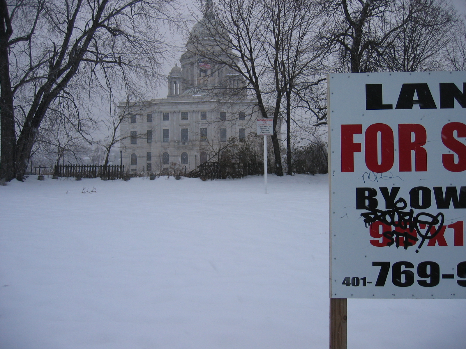
Leaving the mall, we continued north along the east side of the highway on the frontage road. The sidewalks were covered in ice, and the narrow roadway and speeding cars only served to further remind us of the mode of transportation that the highway and it's attendant constructions and arrangements privileges. Saw a vacant lot between the highway and the statehouse. Katie said that she recalled that recently there was a house there with people living in it:
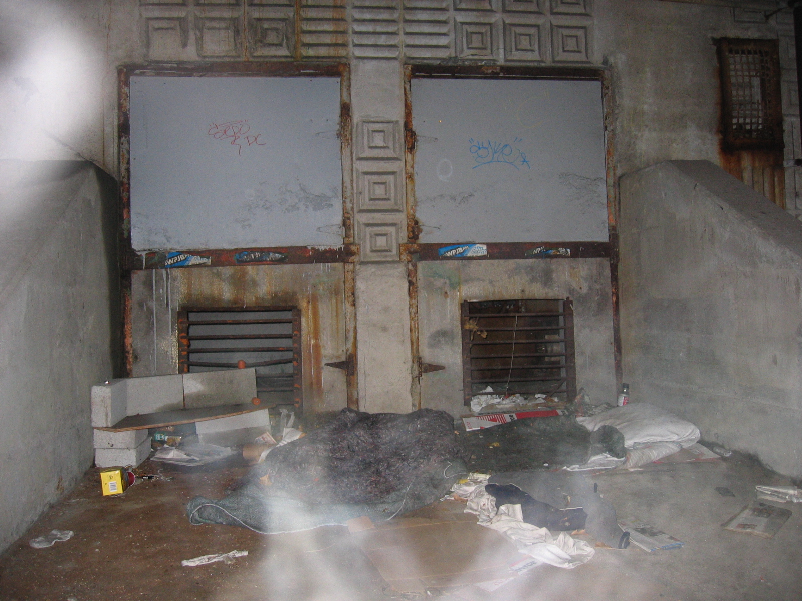
Going north from the mall and the 10/6 interchange, the I-95 cuts into the earth again, dividing the neighborhood of Smith Hill from the Mall and the State Capitol. We crossed over into Smith Hill and turned back south, impressed at what a quiet residential neighborhood exists one block away from the chasm of the highway. We went down Holden street, through The Foundry, which is a very impressive frontspiece to the southbound entry to Providence on 95. From there we went under the 95 were the Woonasquatucket flows out west from under the mall. There we observed a mysterious large quantity of lumber slung between the I-beams just below the highway deck and a little living set up with some interesting ornamentation from the highway construction:
We backtracked over to Dean Street, up and over the 10/6, and down West Exchange Place, which is a kind of hidden accessway from Federal Hill to the base of the Rhode Island convention center. It seems to be primarily a delivery and service way, we saw cleaners getting off work and coming out that way and there were lots of semi trucks and trailers parked. Then over the 95 again westbound on Broadway, left on the frontage road, noting the mural of 'historic' broadway showing a trolley line extending from downtown into the west side. Turning left on the western frontage road, the only businesses are auto related, and then the Public Safety Complex, with easy access on to the highway for police and fire department vehicles. It was getting dark and still snowing, so we went home.
