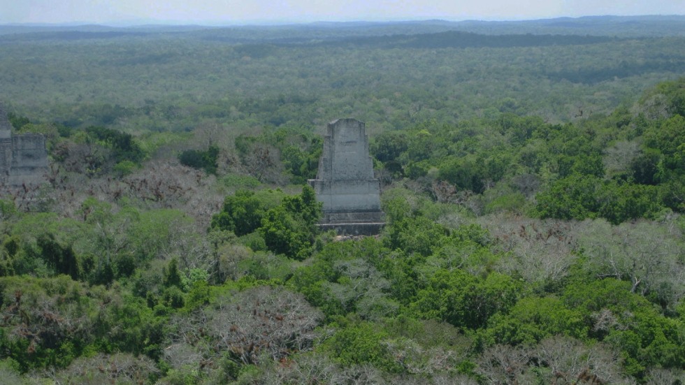
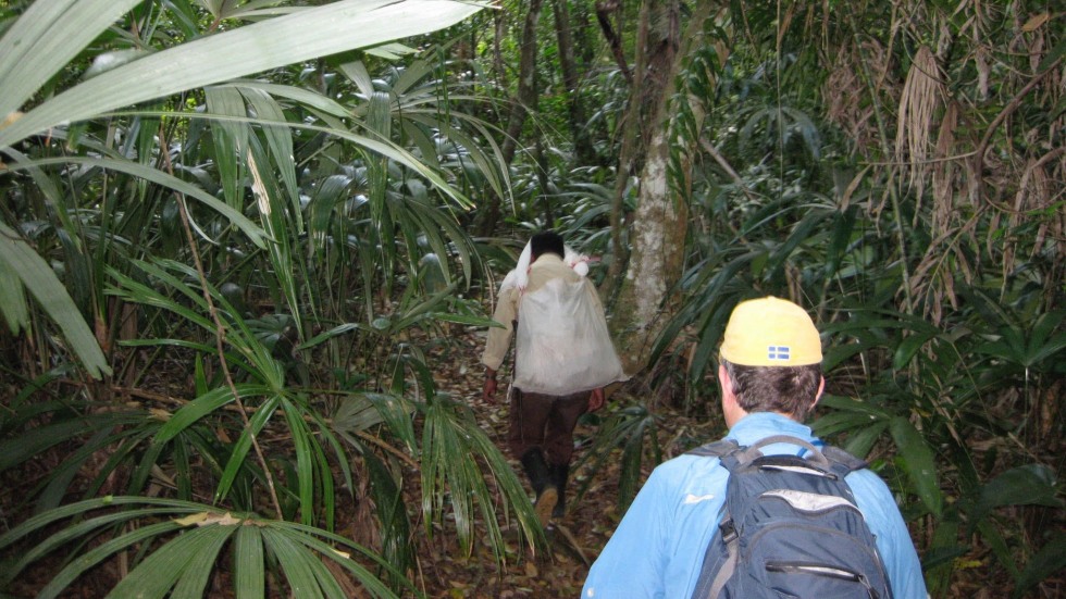
PROVIDENCE, R.I. [Brown University] — Scientists have been excavating the ruins of Tikal, an ancient Maya city in modern-day Guatemala, since the 1950s — and thanks to those many decades spent documenting details of every structure and cataloguing each excavated item, Tikal has become one of the best understood and most thoroughly studied archaeological sites in the world.
But a startling recent discovery by the Pacunam Lidar Initiative, a research consortium involving a Brown University anthropologist, has ancient Mesoamerican scholars across the globe wondering whether they know Tikal as well as they think.
Using light detection and ranging software, or lidar, Stephen Houston, a professor of anthropology at Brown University, and Thomas Garrison, an assistant professor of geography at the University of Texas at Austin, discovered that what was long assumed to be an area of natural hills a short walk away from Tikal’s center was actually a neighborhood of ruined buildings that had been designed to look like those in Teotihuacan, the largest and most powerful city in the ancient Americas.
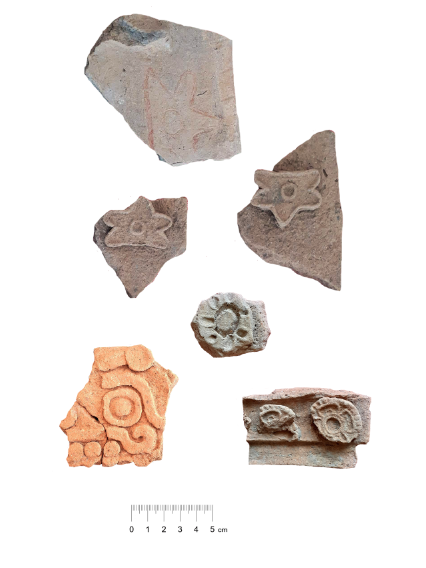
Houston said their lidar analysis, coupled with a subsequent excavation by a team of Guatemalan archaeologists led by Edwin Román Ramírez, has prompted new insights on, and big questions about, Teotihuacan’s influence on the Maya civilization.
“What we had taken to be natural hills actually were shown to be modified and conformed to the shape of the citadel — the area that was possibly the imperial palace — at Teotihuacan,” Houston said. “Regardless of who built this smaller-scale replica and why, it shows without a doubt that there was a different level of interaction between Tikal and Teotihuacan than previously believed.”
The results, including lidar images and a summary of excavation findings, were published on Tuesday, Sept. 28 in Antiquity.


